Kelly County on the GTA 6 map
Kelly County has 79 places on the map.
Of those, 43 places have their own name and 36 places are unlabelled in the GTADB snapshot.
The largest categories are: Nature — 12, Industrial — 8, Vehicles — 5.
Named points include: "Easy Hill", "Mount Mountain", "Mount Waffles", Alpha Gas Station, Berth.
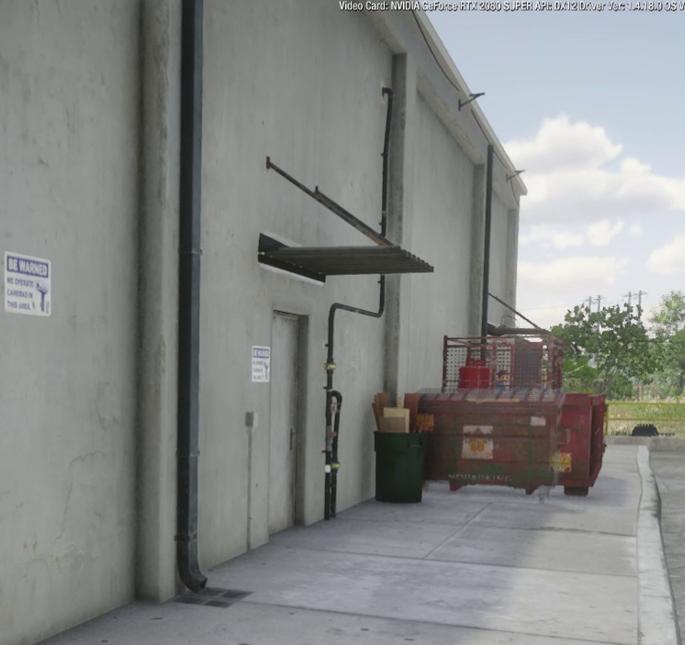
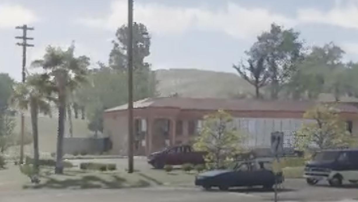
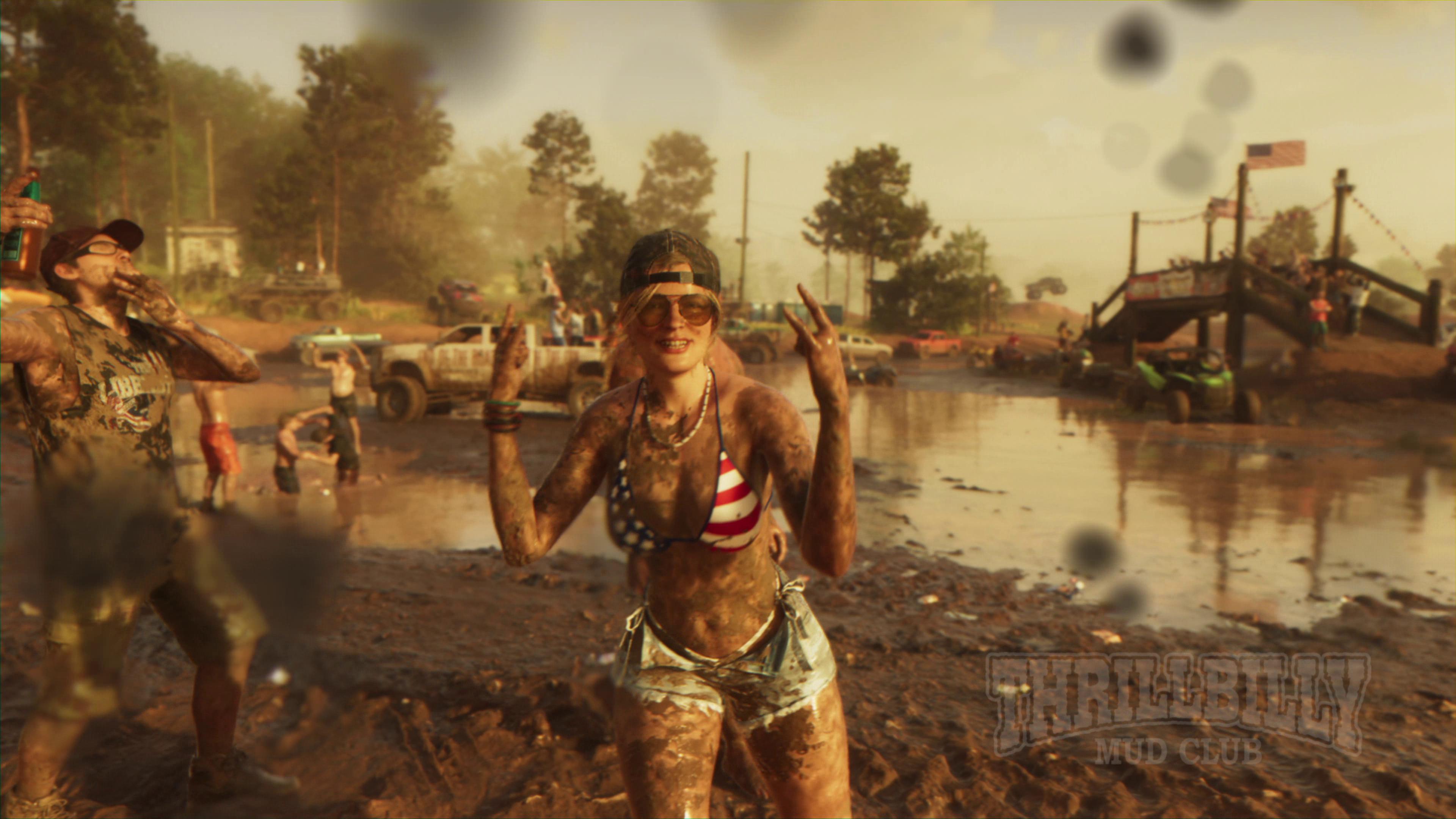
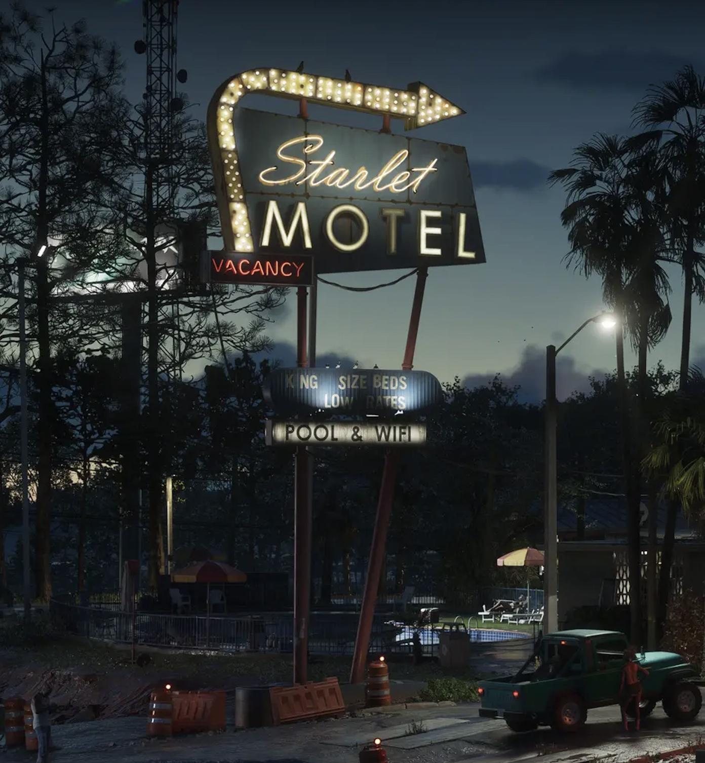
In the GTADB data, a real-world address for 20 places and a prototype photo for 11 places.
The real-world counterpart is Macclenny.
Nearby on the map: Port Gellhorn, Gellhorn International Raceway, Ambrosia, Capri.
Places · 5
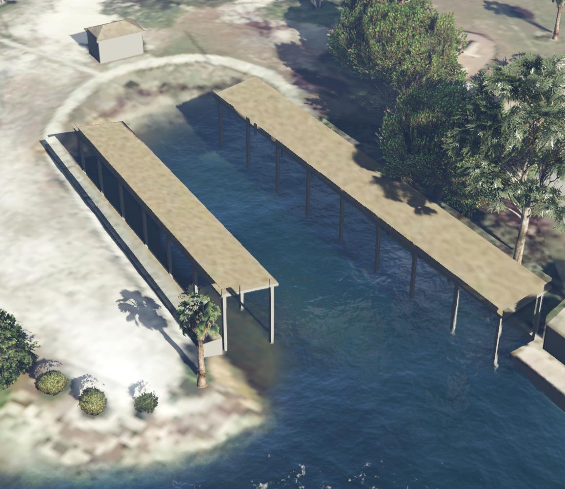
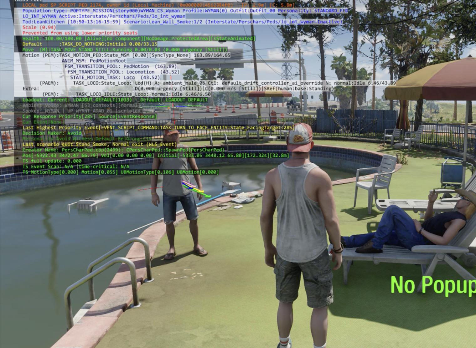
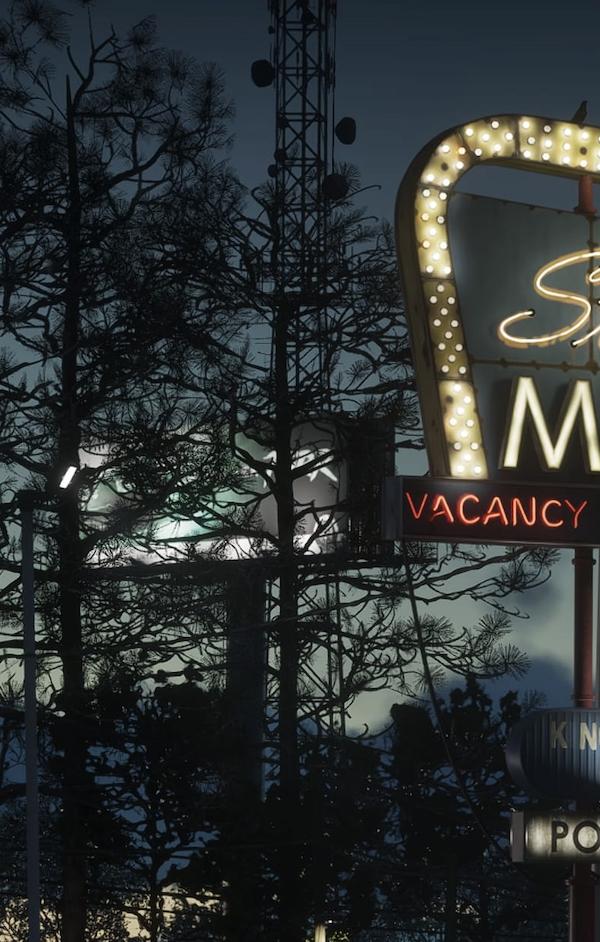
Nature · 4
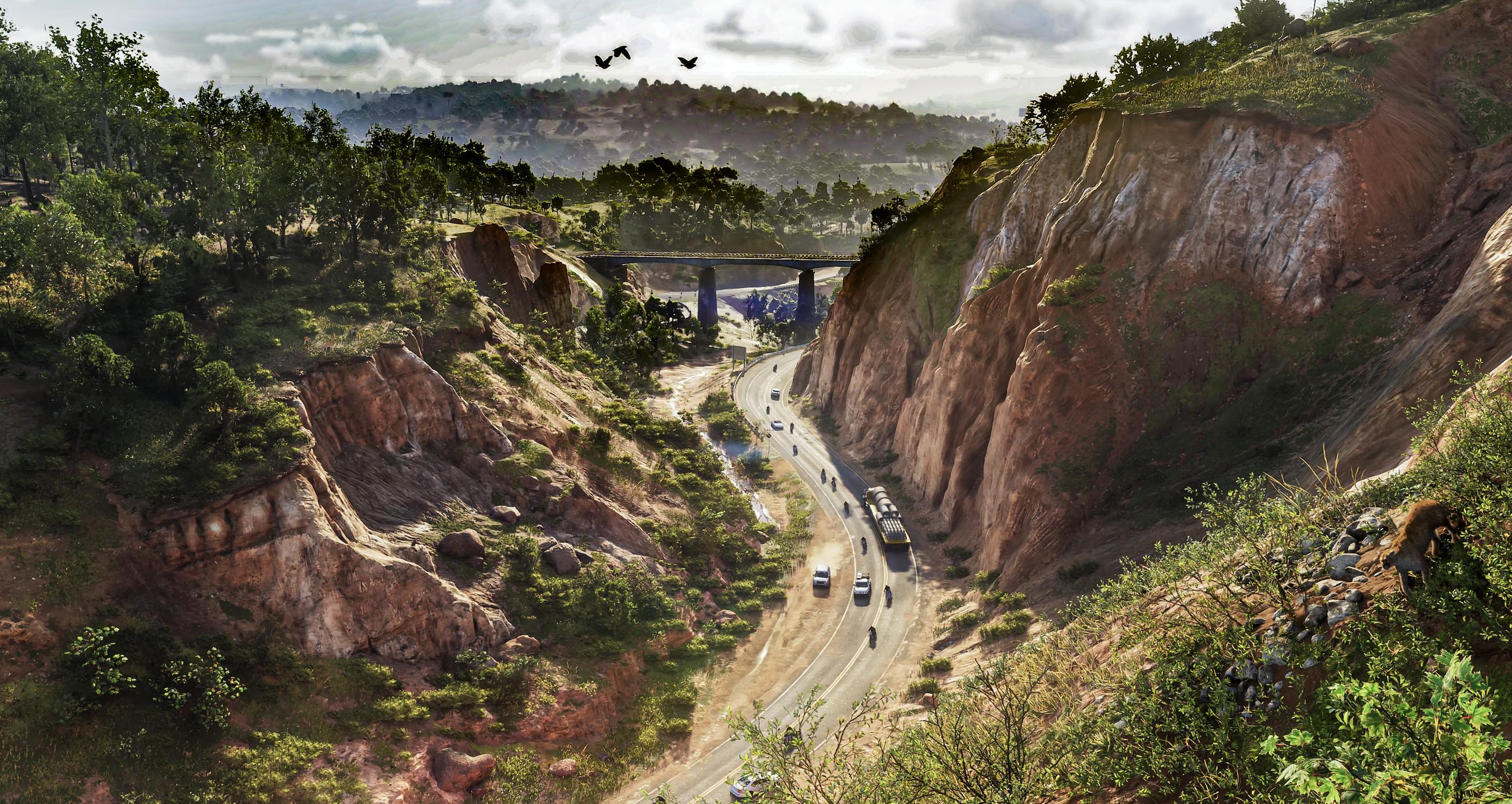
Vehicles · 5
Industrial · 4
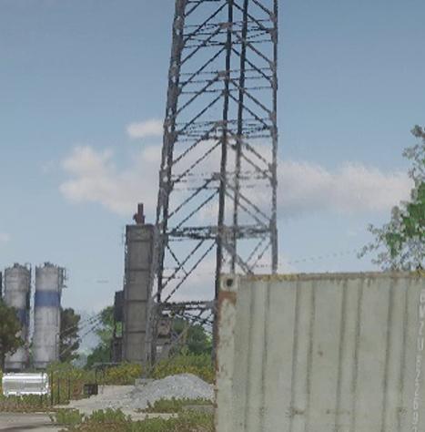
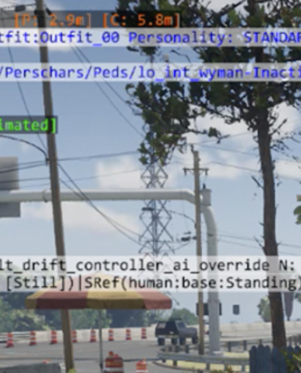
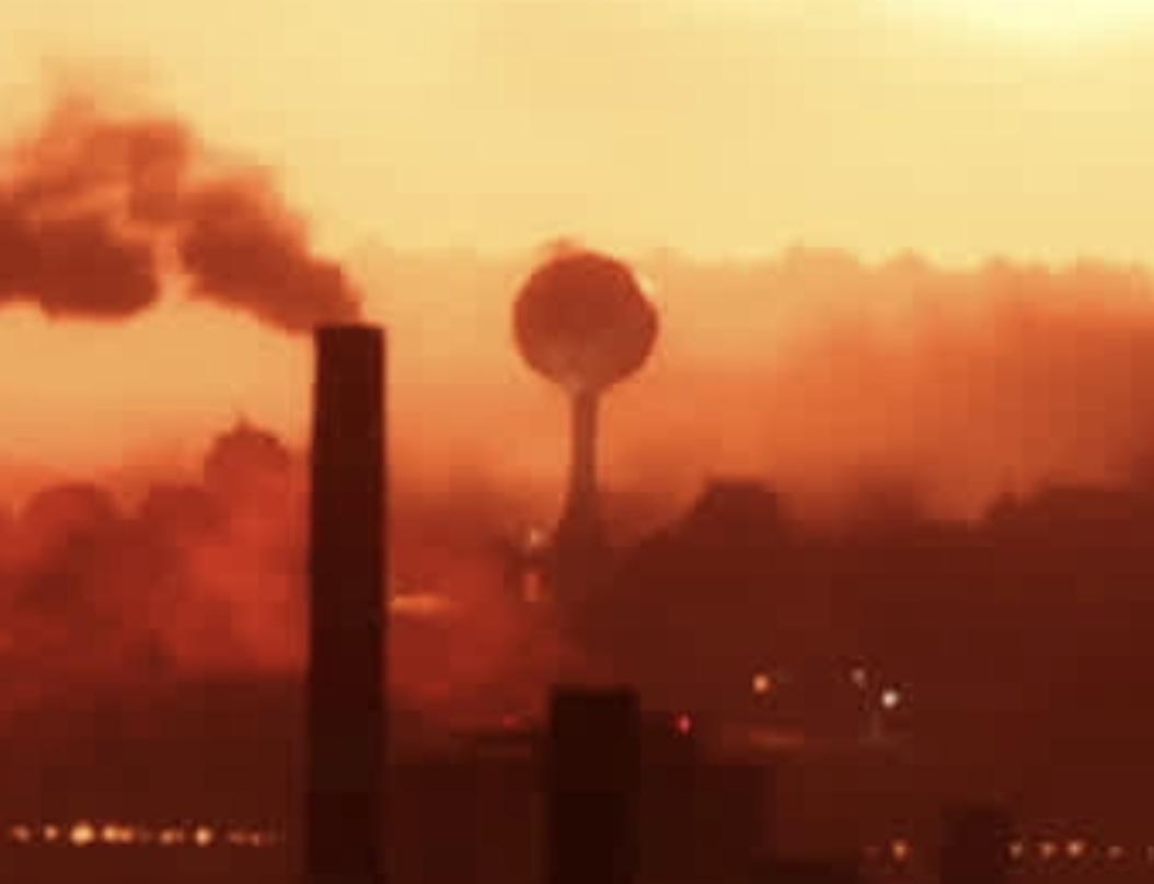
Leisure and food · 2
Civic · 2
Safehouses · 1
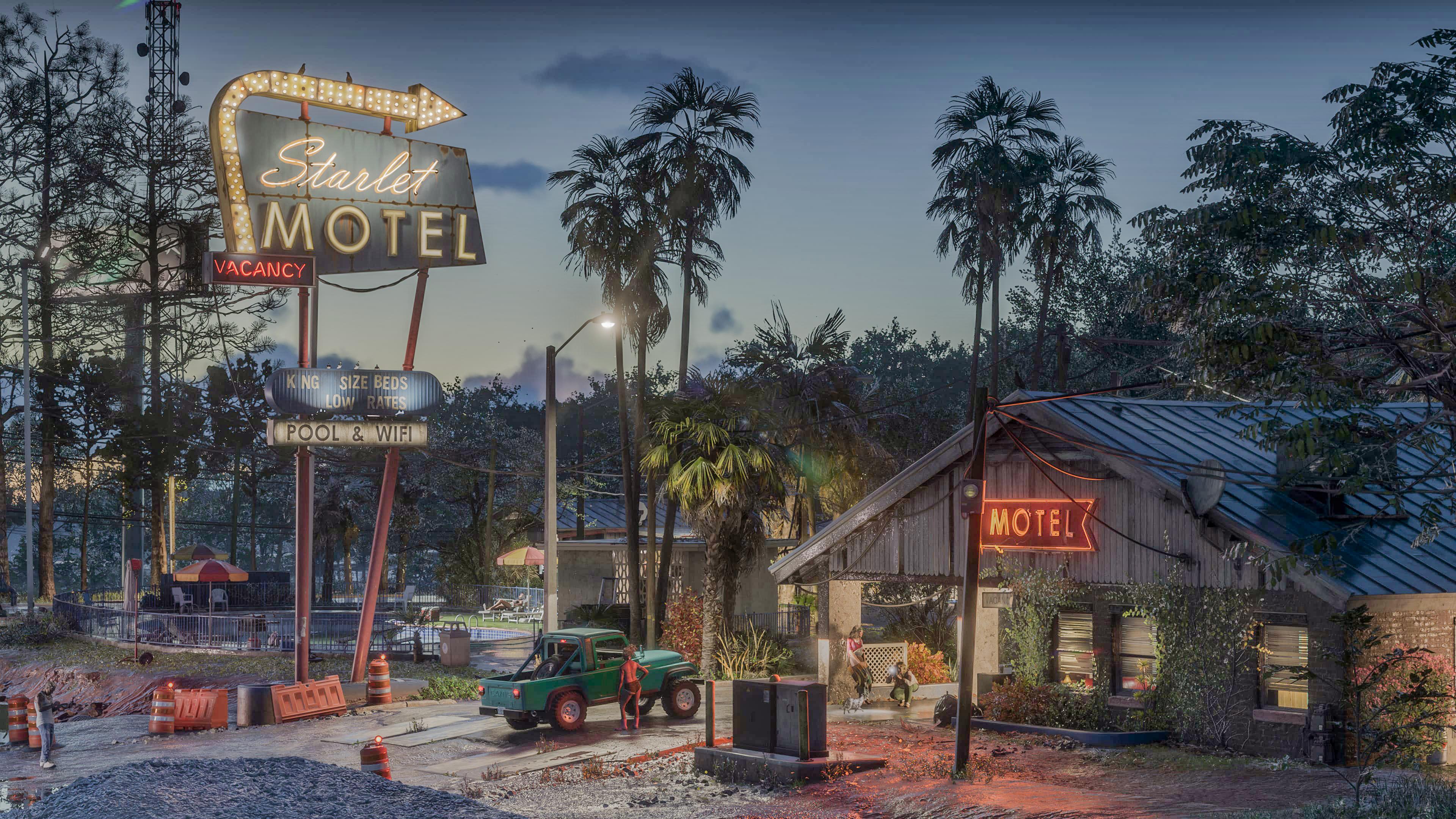
Services · 1
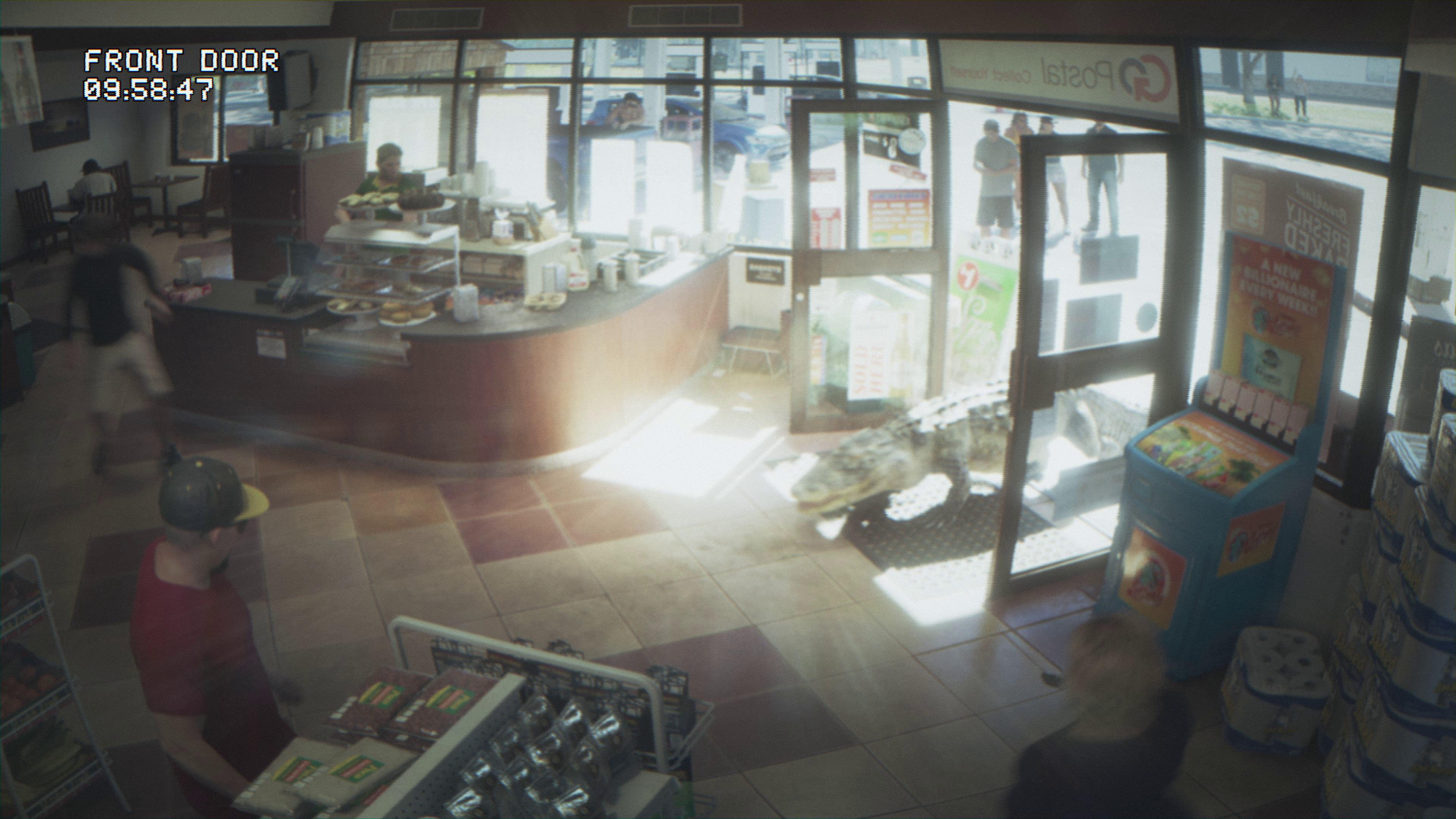
23 places more with a name
- "Ambrosia Hill"
- "Bridge Ridge"
- "Carousell Hill"
- "Kelly Hill"
- "Lollipop Ridge"
- "Starlet Hill"
- "Thrillbilly Hill"
- Airfield
- Blacks IslandFlorida 32456, Blacks Island
- Crude IslandsFlorida 32625, Snake Key
- Deer IslandFlorida 32625, Deer Island
- InterchangeFH +CMG Greater Northdale
- River
- RiverCaloosahatchee Canal
- SandbarsFlorida 34691, Anclote Keys
- Spoil Island 2DVHFF+X3, Tampa
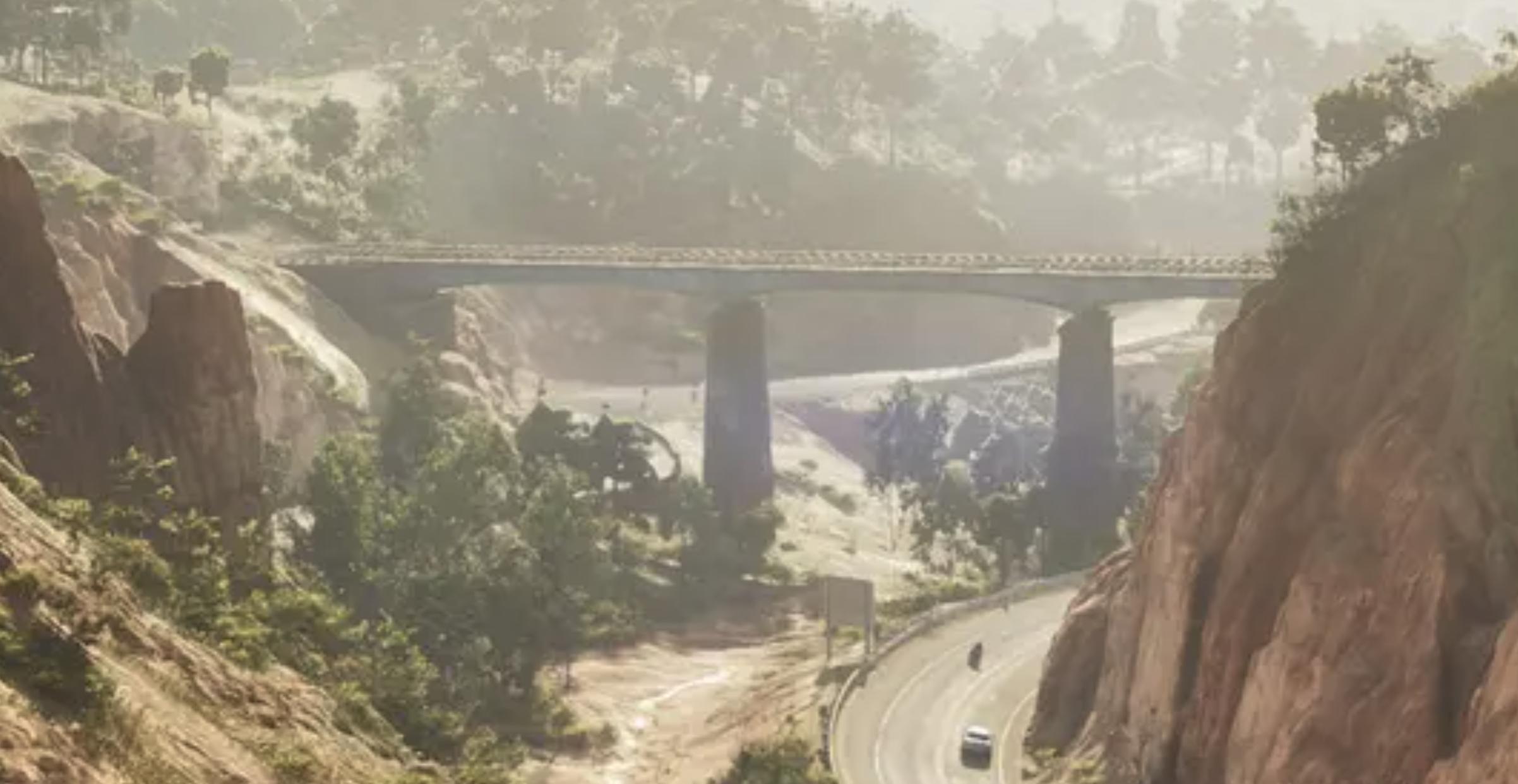
- Train Bridge4 points
- Train Tunnel2 points
- Tunnel
Unnamed · 32
Another 32 points: Places — 27, Industrial — 3, Civic — 1, Nature — 1. Open the area on the map
Nearby on the map
FAQ
Where is Kelly County on the map?
Kelly County is a region on the GTA 6 map.
How many places are marked in Kelly County?
Kelly County has 79 places.
What kinds of places are marked in Kelly County?
The largest groups are: Nature — 12, Industrial — 8, Vehicles — 5.
Which named places are in Kelly County?
The GTADB snapshot has 43 places with a name, including: "Easy Hill", "Mount Mountain", "Mount Waffles", Alpha Gas Station, Berth.
How many points in Kelly County have no name?
36 places have no name of their own. By category across the area: Places — 47, Nature — 12, Industrial — 8, Vehicles — 5.
Do places in Kelly County have real-world counterparts?
In the GTADB data, a prototype address for 20 places and a prototype photo for 11 places.