Ambrosia on the GTA 6 map
Ambrosia has 90 places on the map.
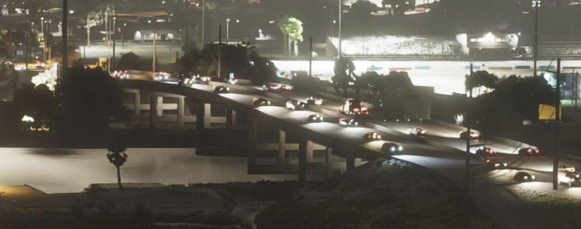
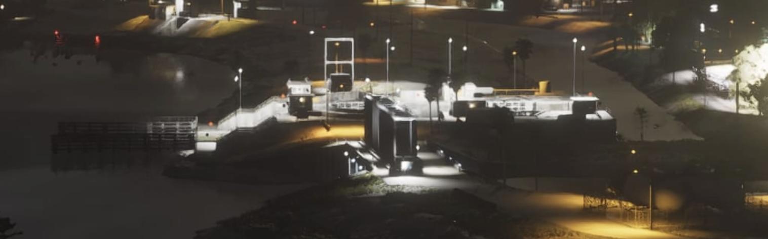
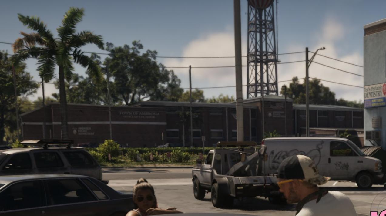
Ambrosia is GTA VI's inland industrial region, shaped by the Allied Crystal sugar refinery and a powerful local biker economy.
Of those, 36 places have their own name and 54 places are unlabelled in the GTADB snapshot.
The largest categories are: Industrial — 37, Vehicles — 8, Leisure and food — 4.
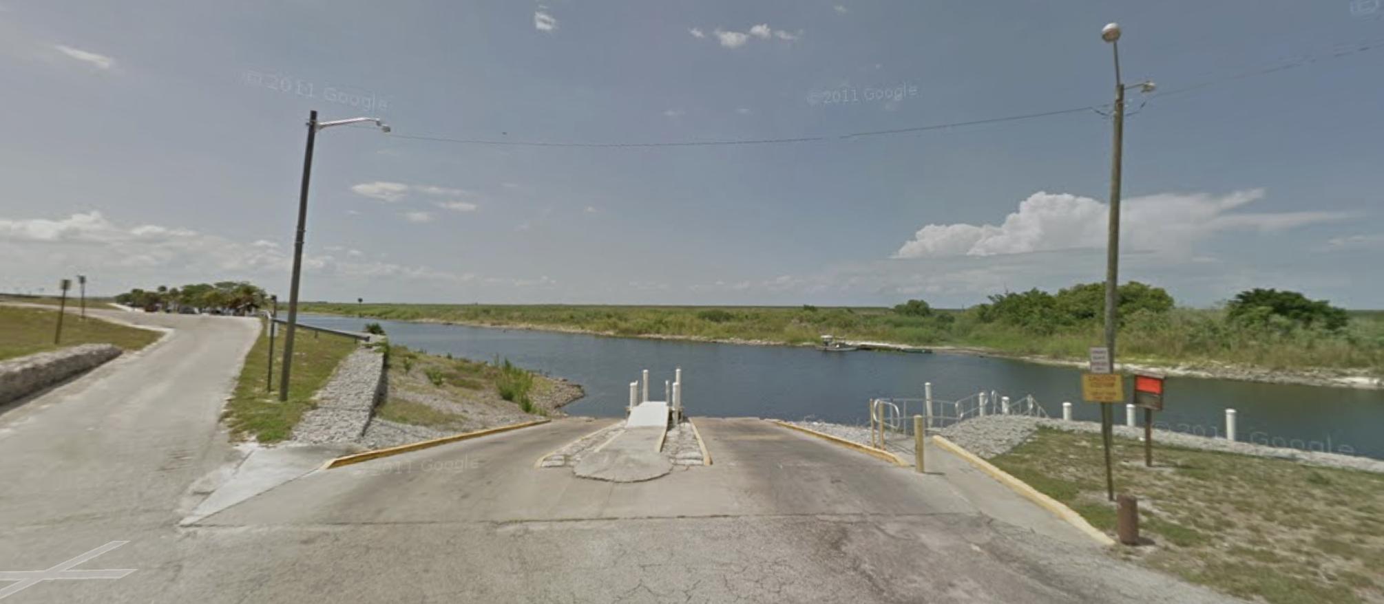
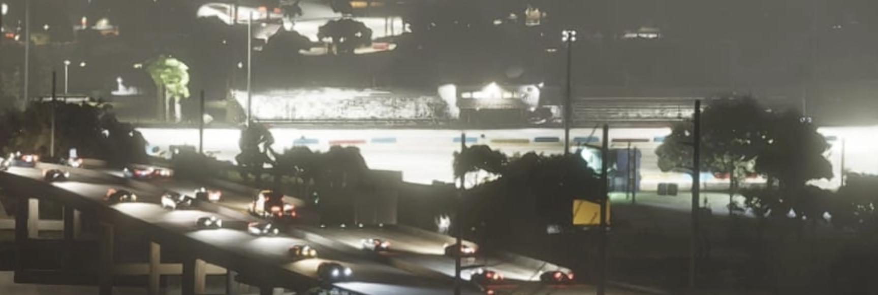
Named points include: Ambrosia Police Department, Ambrosia Raceway Park, Ambrosia Station, Baseball Field, Boat Ramp.
In the GTADB data, a real-world address for 31 places and a prototype photo for 21 places.
The real-world counterpart is Clewiston.
This hub collects points that sit outside the separate district pages; districts with their own hubs include: Allied Crystal (42).
Nearby on the map: Belville, Leonard County, Waning Sands, Kelly County.
Vehicles · 7
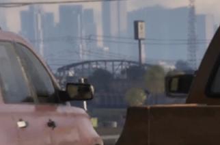
Industrial · 4
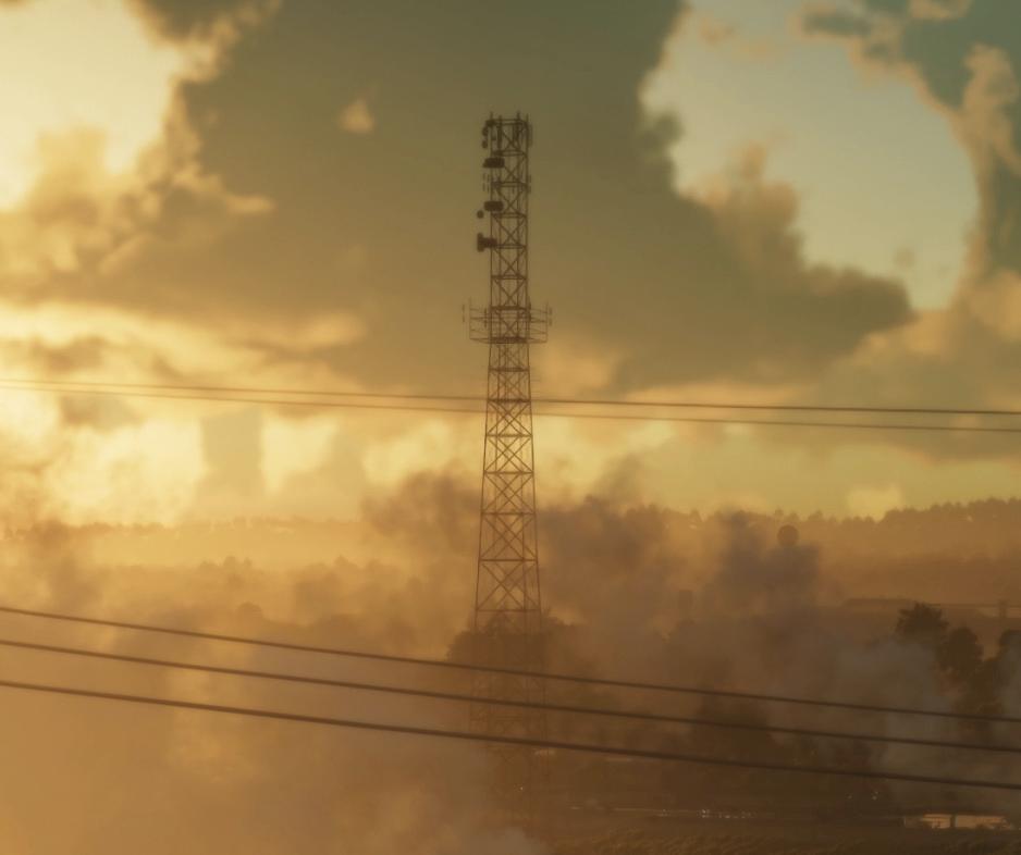
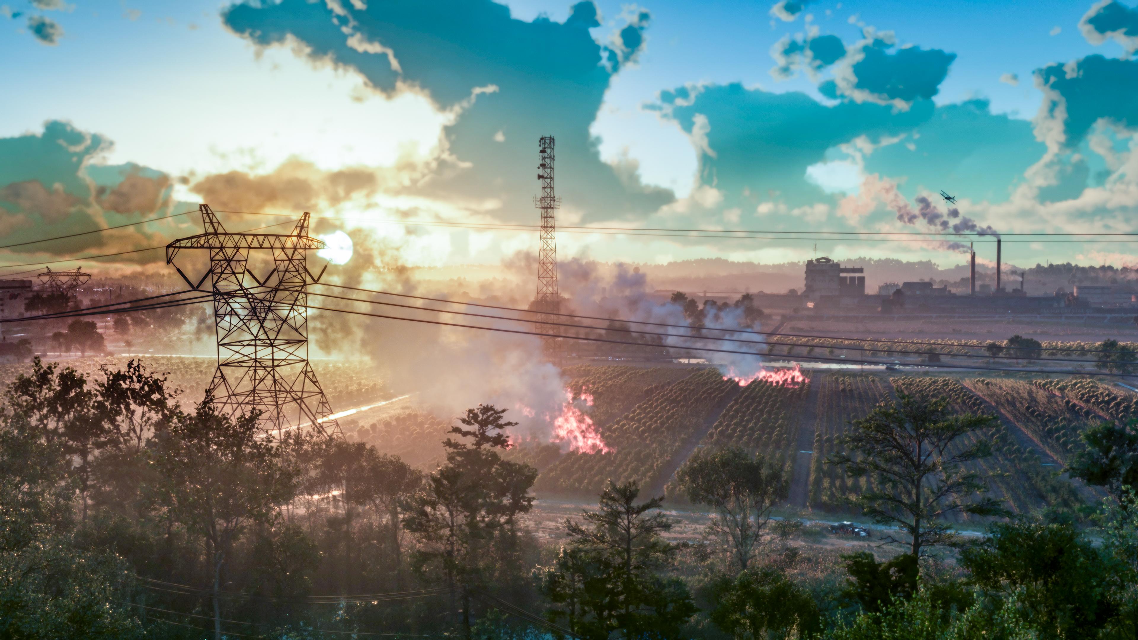
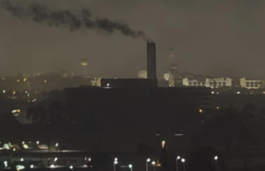
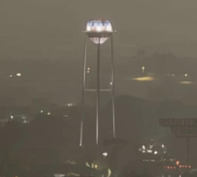
Places · 3
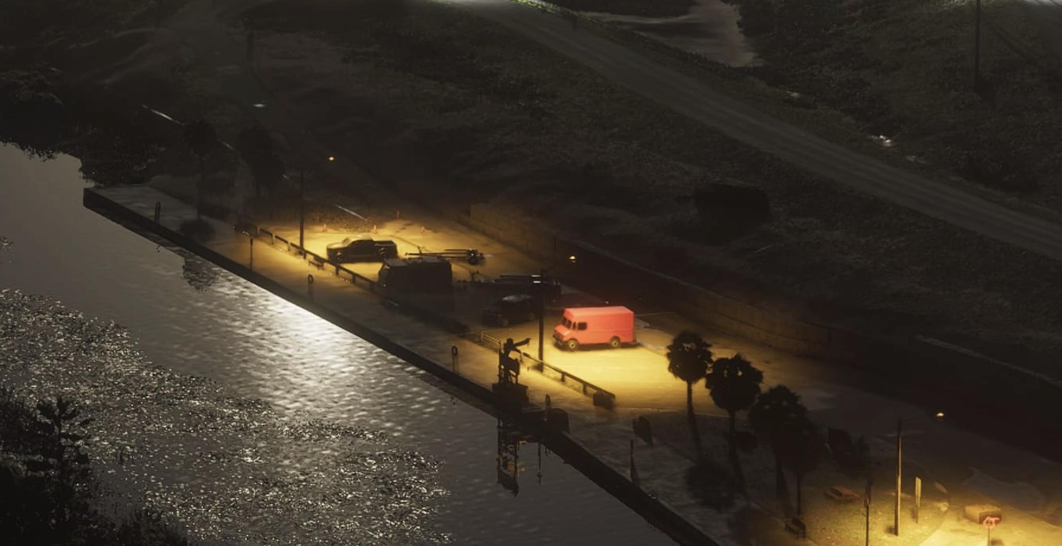
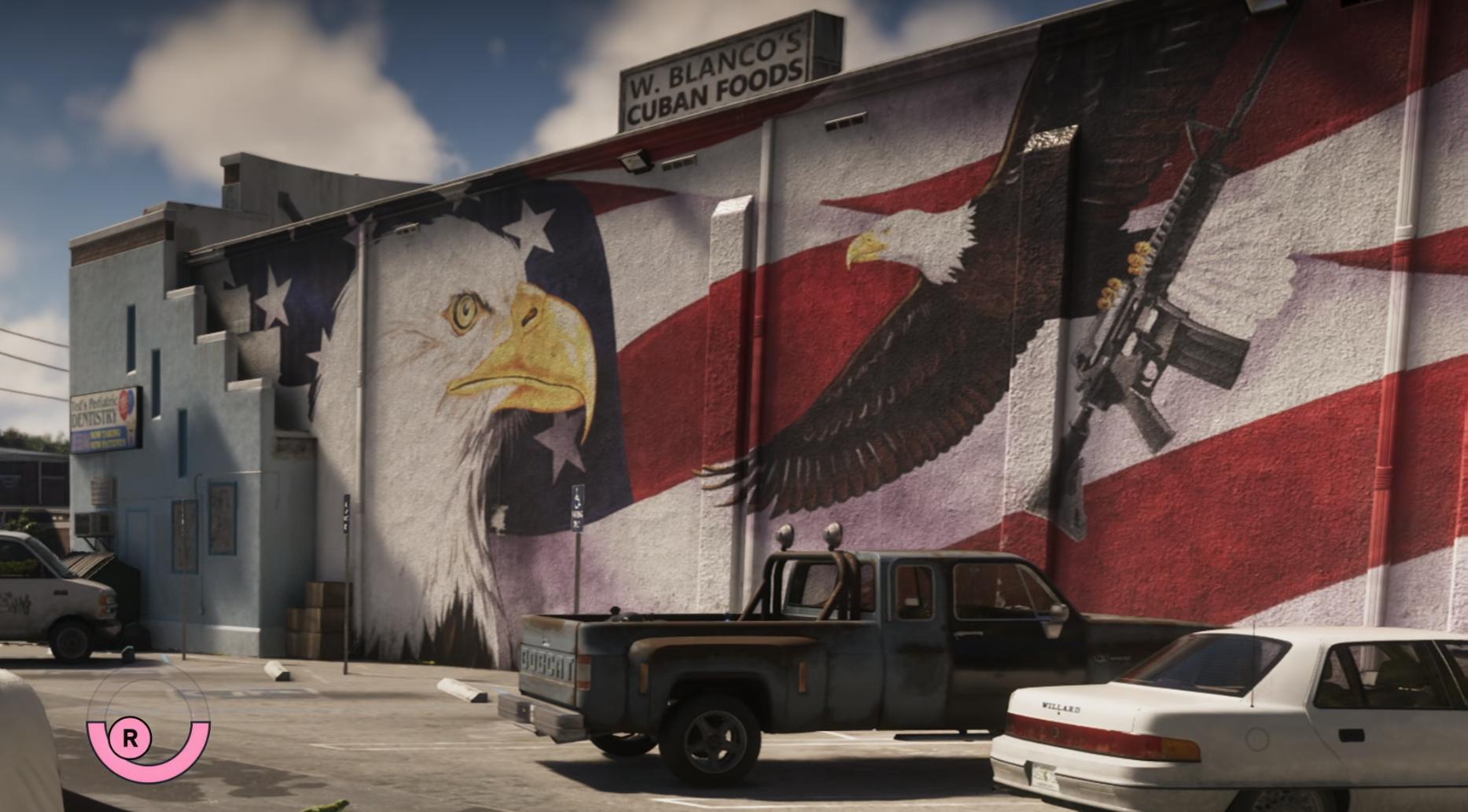
Leisure and food · 3
Services · 1
Civic · 1
3 places more with a name
- Airfield1090 Airglades Blvd, Clewiston
- Monkey BoxMonkey Box
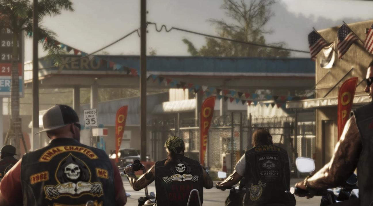
- Xero Gas Station
Unnamed · 26
Another 26 points: Places — 20, Industrial — 4, Leisure and food — 1, Shops — 1. Open the area on the map
Nearby on the map
FAQ
Where is Ambrosia on the map?
Ambrosia is a region on the GTA 6 map.
How many places are marked in Ambrosia?
Ambrosia has 90 places.
What kinds of places are marked in Ambrosia?
The largest groups are: Industrial — 37, Vehicles — 8, Leisure and food — 4.
Which named places are in Ambrosia?
The GTADB snapshot has 36 places with a name, including: Ambrosia Police Department, Ambrosia Raceway Park, Ambrosia Station, Baseball Field, Boat Ramp.
How many points in Ambrosia have no name?
54 places have no name of their own. By category across the area: Industrial — 37, Places — 36, Vehicles — 8, Leisure and food — 4.
Do places in Ambrosia have real-world counterparts?
In the GTADB data, a prototype address for 31 places and a prototype photo for 21 places.