Waning Sands on the GTA 6 map
Waning Sands has 61 places on the map.
Of those, 14 places have their own name and 47 places are unlabelled in the GTADB snapshot.
The largest categories are: Housing — 17, Shops — 8, Vehicles — 4.
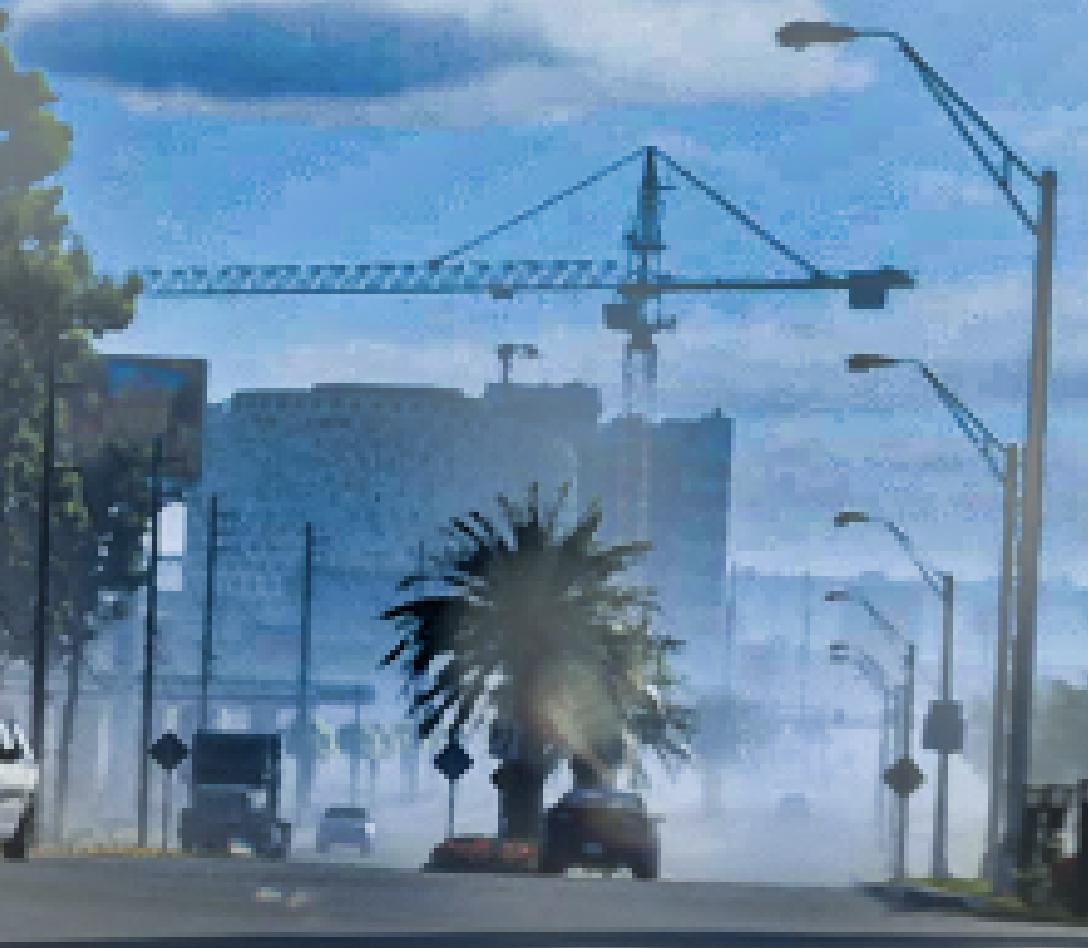
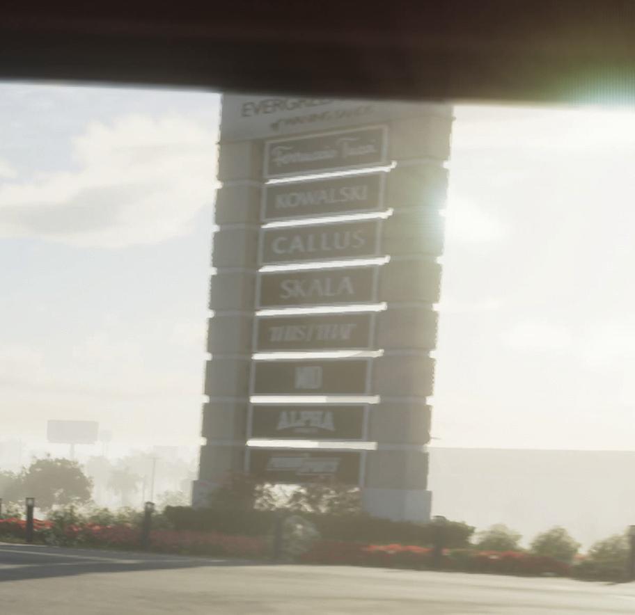
Named points include: Billie Bob's, Construction Site, Evergreen Mall, Evergreen Mall Sign, Gas Station.
In the GTADB data, a real-world address for 22 places and a prototype photo for 7 places.
The real-world counterpart is Pembroke Pines.
Nearby on the map: Leonard County, Belville, Rialto Islands, Ambrosia.
Vehicles · 1
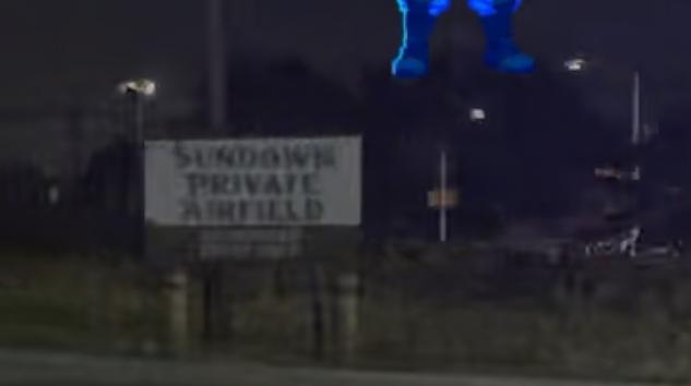
Housing · 3
Shops · 1
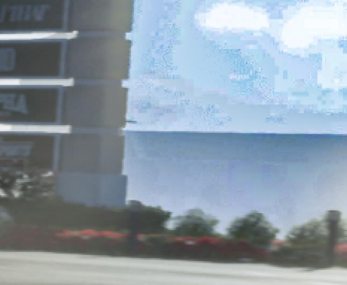
Leisure and food · 2
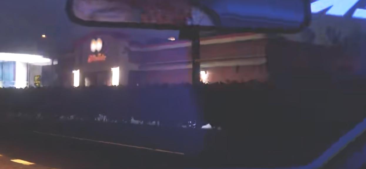
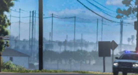
Services · 2
Industrial · 2

Civic · 2
6 places more with a name
- Bridge2 points
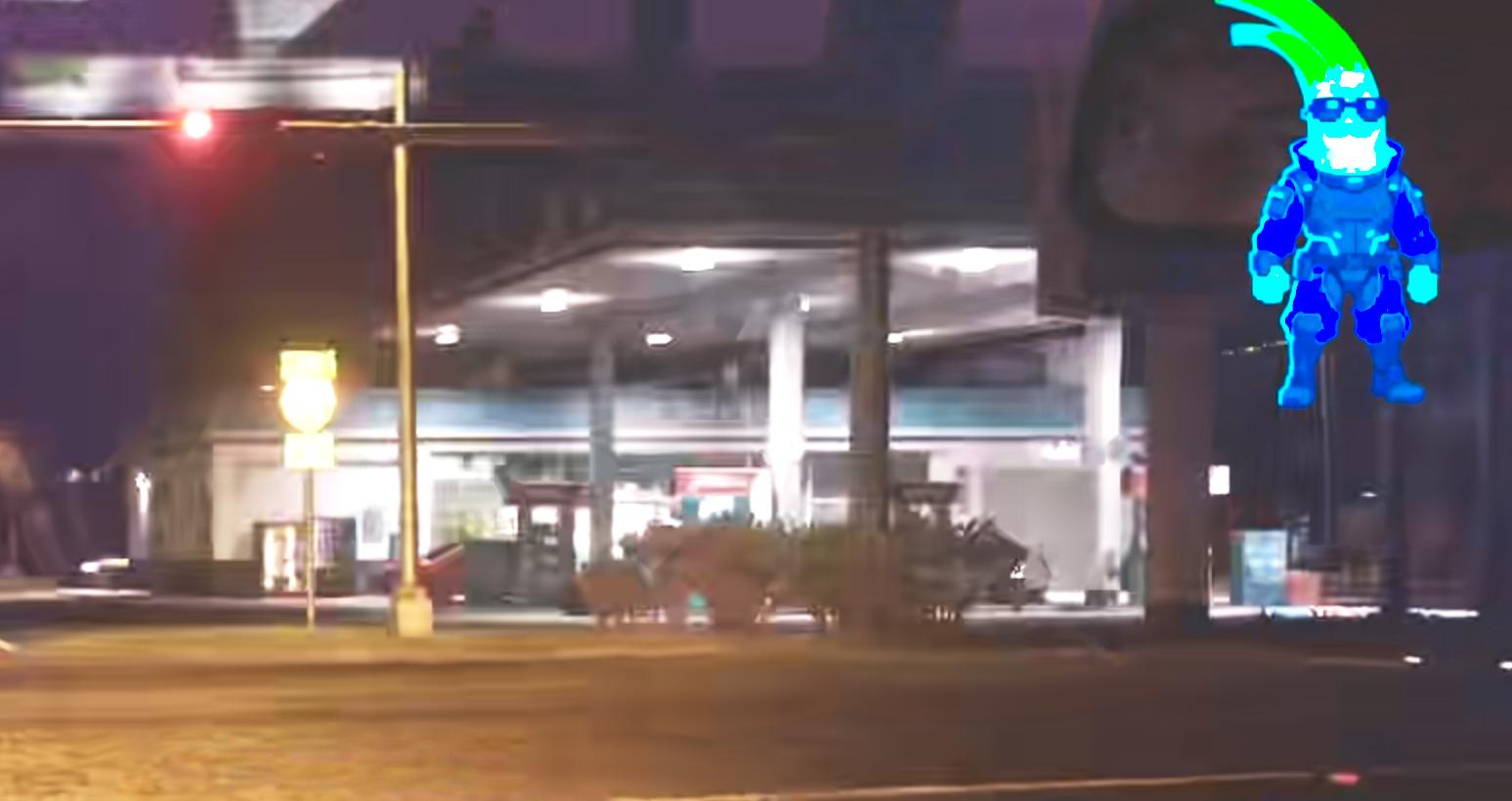
- Gas Station
- Lake
- Monterra Main GateHollywood
- Train Station
Unnamed · 42
Another 42 points: Places — 20, Housing — 14, Shops — 6, Hotels — 1, Leisure and food — 1. Open the area on the map
Nearby on the map
FAQ
Where is Waning Sands on the map?
Waning Sands is a region on the GTA 6 map.
How many places are marked in Waning Sands?
Waning Sands has 61 places.
What kinds of places are marked in Waning Sands?
The largest groups are: Housing — 17, Shops — 8, Vehicles — 4.
Which named places are in Waning Sands?
The GTADB snapshot has 14 places with a name, including: Billie Bob's, Construction Site, Evergreen Mall, Evergreen Mall Sign, Gas Station.
How many points in Waning Sands have no name?
47 places have no name of their own. By category across the area: Places — 22, Housing — 17, Shops — 8, Vehicles — 4.
Do places in Waning Sands have real-world counterparts?
In the GTADB data, a prototype address for 22 places and a prototype photo for 7 places.