Leonard County on the GTA 6 map
Leonard County has 44 places on the map.
Of those, 18 places have their own name and 26 places are unlabelled in the GTADB snapshot.
The largest categories are: Leisure and food — 5, Nature — 5, Industrial — 4.
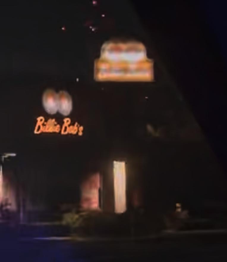
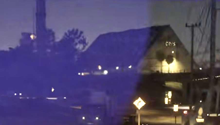
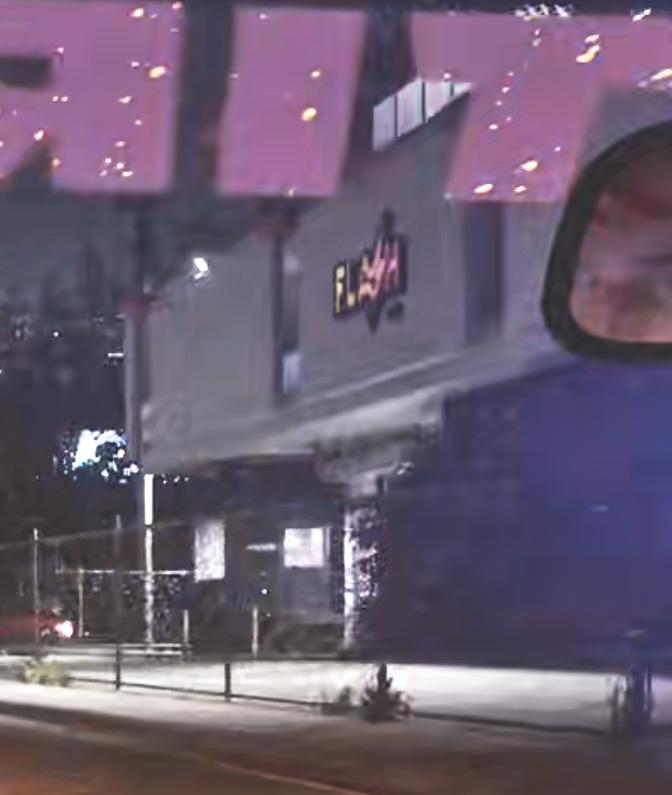
Named points include: Billie Bob's, Bridge, Broadcast Tower, Crys, Flash FM.
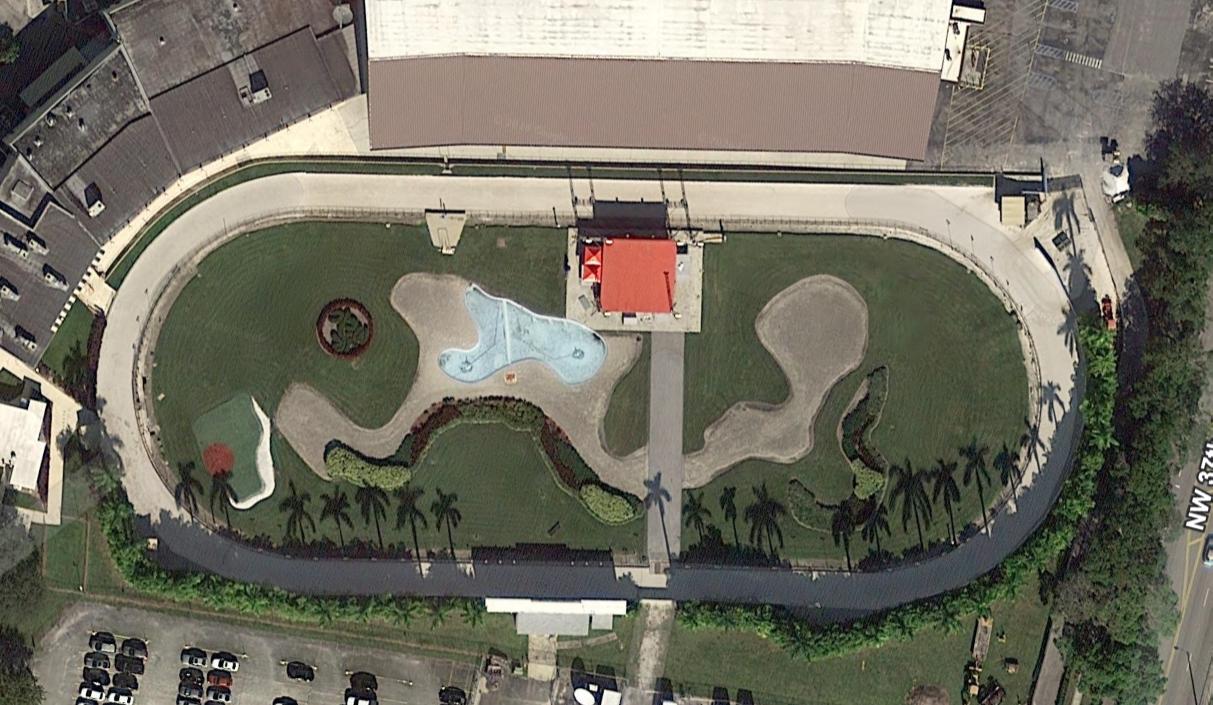
In the GTADB data, a real-world address for 19 places and a prototype photo for 9 places.
The real-world counterpart is Miami.
Nearby on the map: Waning Sands, Belville, Ambrosia, Rialto Islands.
Places · 4
Leisure and food · 1
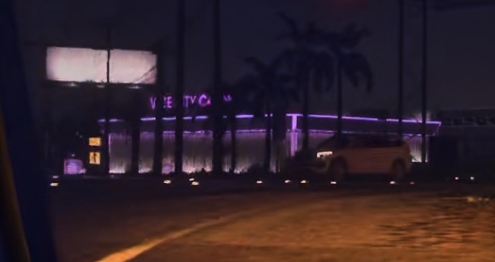
Industrial · 4
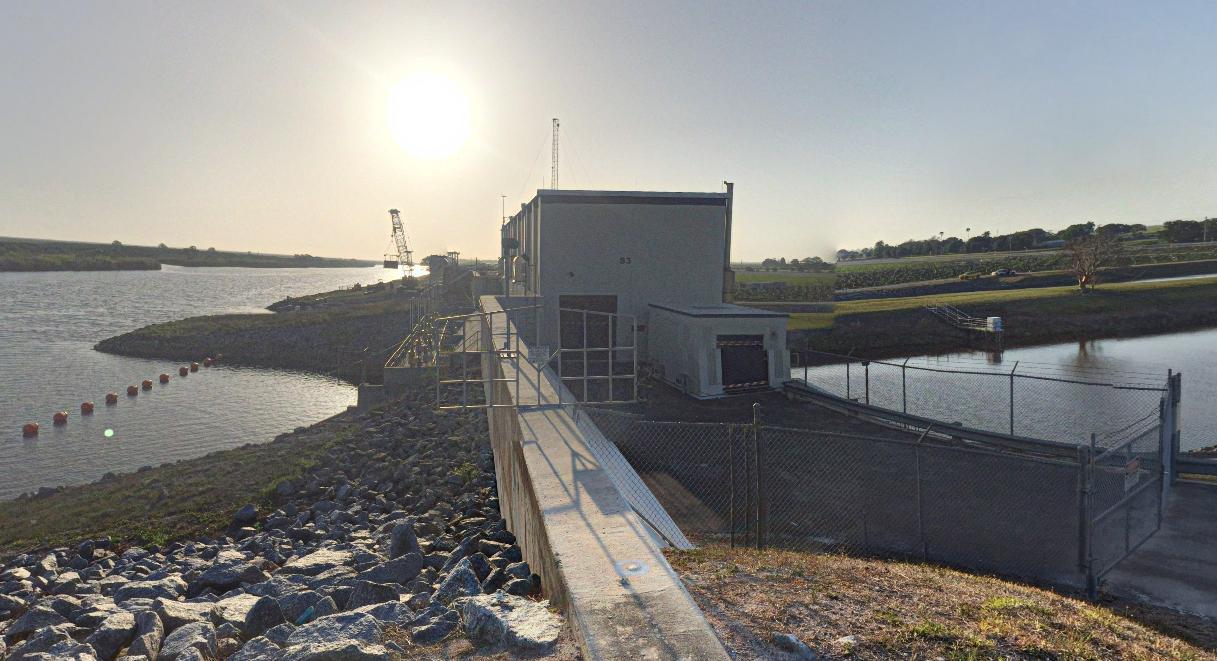
Nature · 2
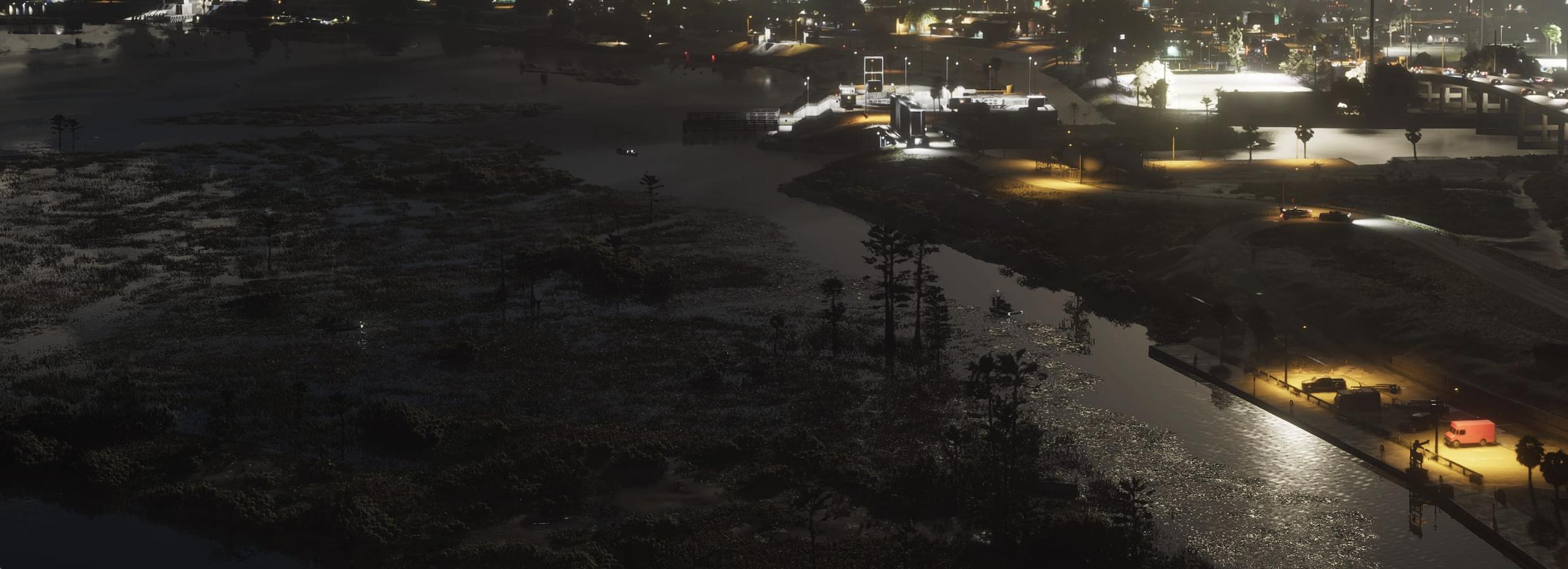
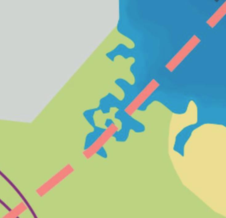
Vehicles · 2
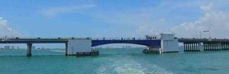
Civic · 1
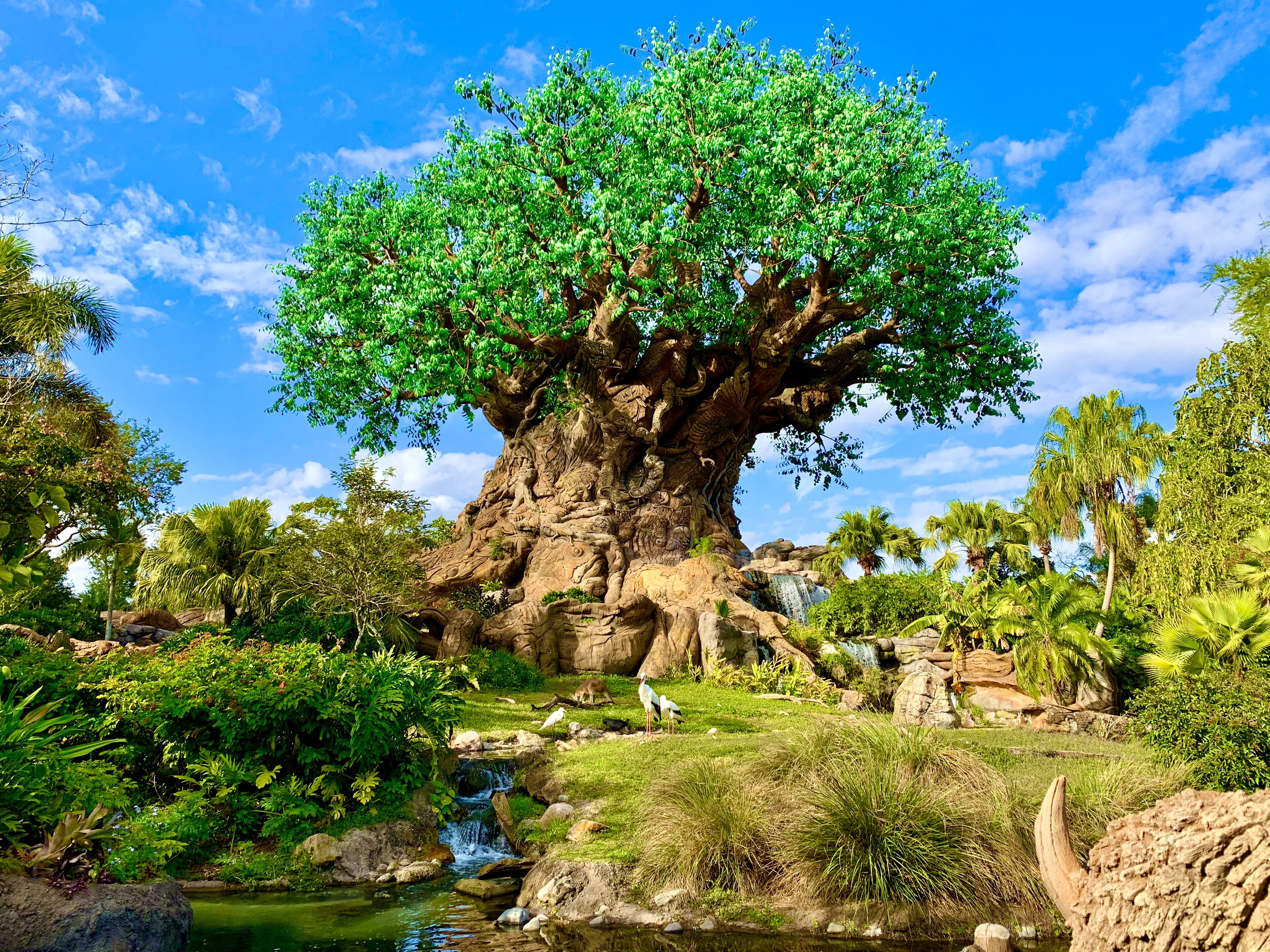
12 places more with a name
- AirfieldCJP +W Immokalee
- CanalSt. Lucie Canal
- InterchangeXV + Aventura
- Lake2 points
- Osborne Reef4W4P+X2, Fort Lauderdale
- Presidential Bunker6500 Peanut Island Rd, Riviera Beach
- SeaWorld Orlando7007 Sea World Dr, Orlando
- South Cove Natural Area301 N Olive Ave, West Palm Beach
- Train Bridge
- Train Bridge
- WWVH+8QP Jupiter Inlet ColonyWWVH+ QP Jupiter Inlet Colony
Unnamed · 18
Another 18 points: Places — 15, Leisure and food — 1, Nature — 1, Shops — 1. Open the area on the map
Nearby on the map
FAQ
Where is Leonard County on the map?
Leonard County is a region on the GTA 6 map.
How many places are marked in Leonard County?
Leonard County has 44 places.
What kinds of places are marked in Leonard County?
The largest groups are: Leisure and food — 5, Nature — 5, Industrial — 4.
Which named places are in Leonard County?
The GTADB snapshot has 18 places with a name, including: Billie Bob's, Bridge, Broadcast Tower, Crys, Flash FM.
How many points in Leonard County have no name?
26 places have no name of their own. By category across the area: Places — 25, Leisure and food — 5, Nature — 5, Industrial — 4.
Do places in Leonard County have real-world counterparts?
In the GTADB data, a prototype address for 19 places and a prototype photo for 9 places.