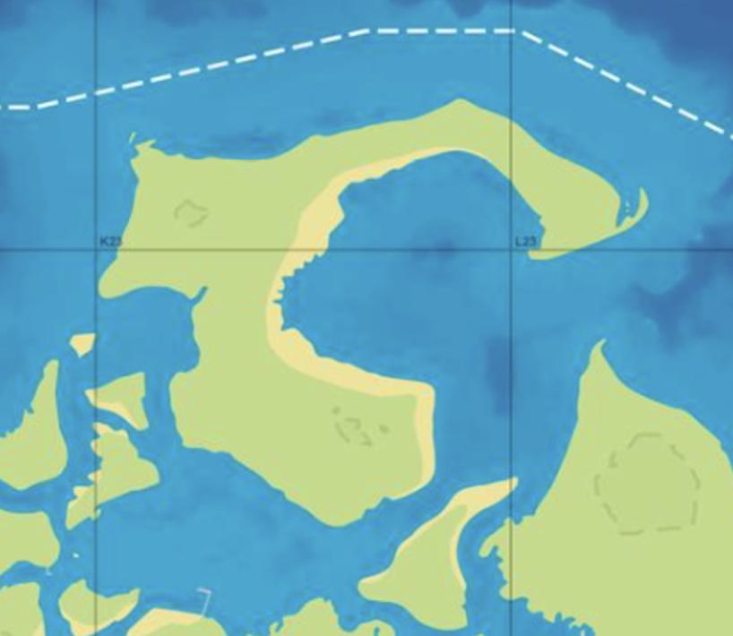
Lummox County on the GTA 6 map
Lummox County has 64 places on the map.
Of those, 36 places have their own name and 28 places are unlabelled in the GTADB snapshot.
The largest categories are: Nature — 29, Vehicles — 10, Shops — 1.
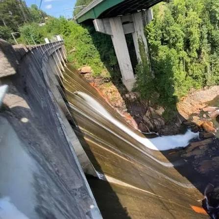
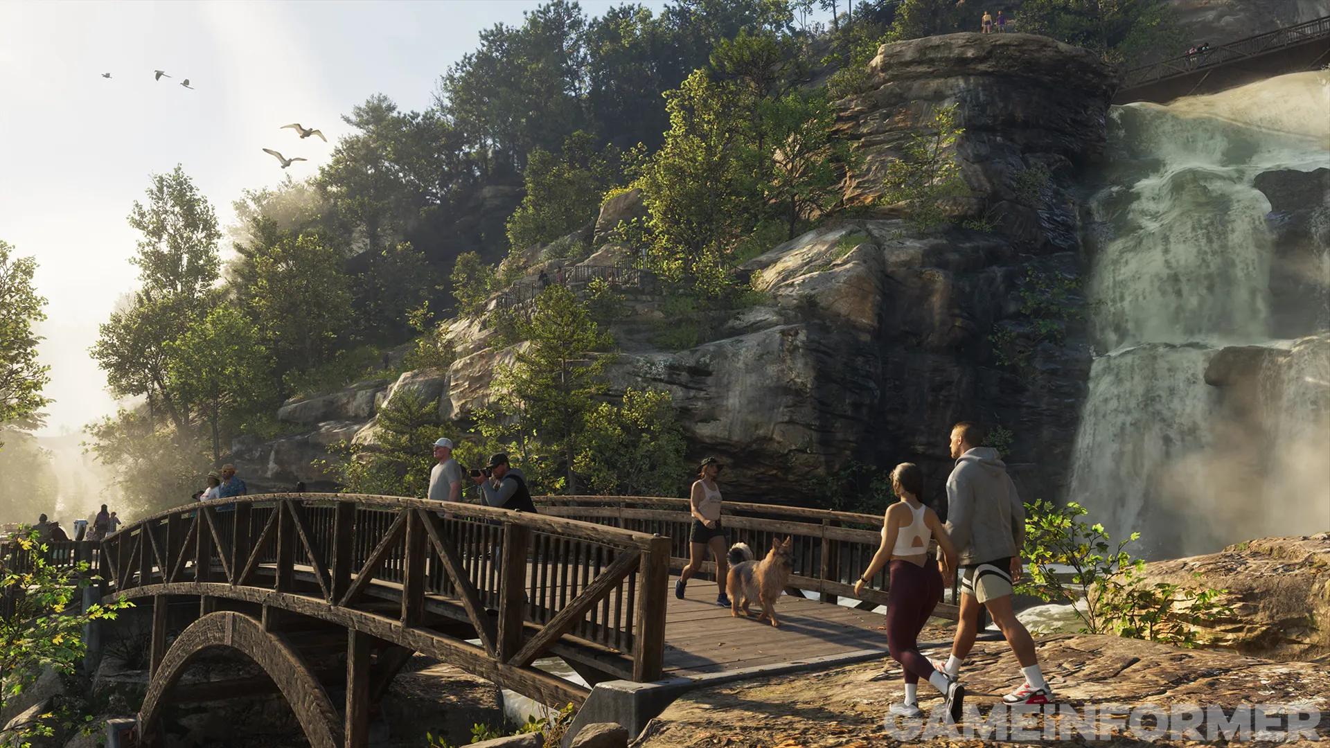
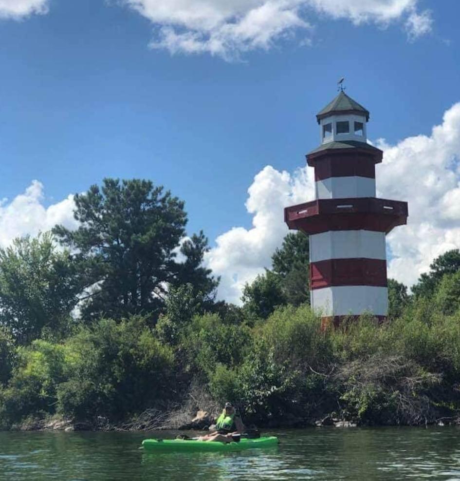
Named points include: "Maple Syrup Hill", Dam, Footbridge, Lake, Lighthouse.
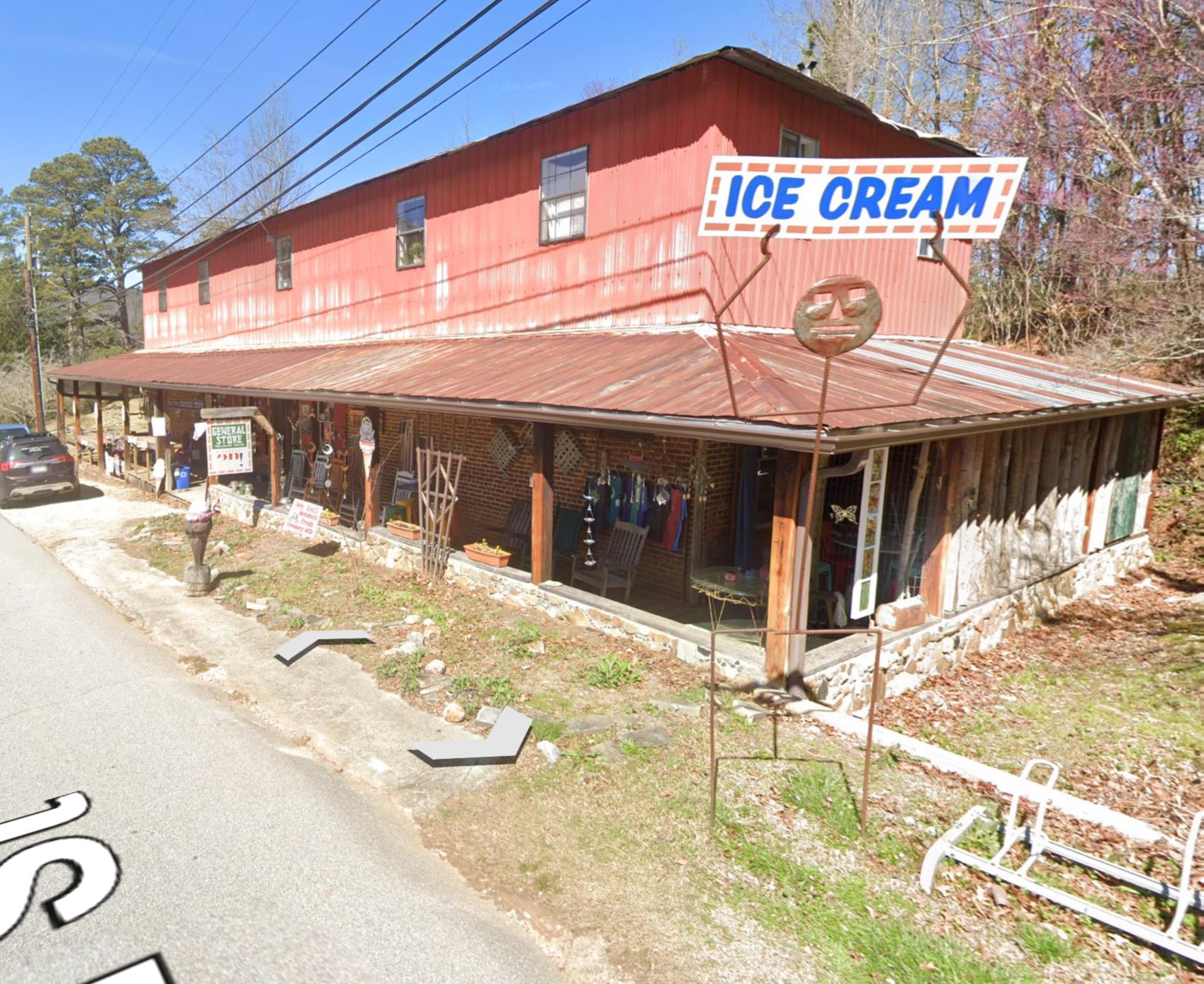
In the GTADB data, a real-world address for 21 places and a prototype photo for 8 places.
The real-world counterpart is Fernandina Beach.
Nearby on the map: Ambrosia, Port Gellhorn, Kelly County, Leonard County.
Nature · 7
Places · 6
35 places more with a name
- "Mount Leonida"
- "Mount Lummox"
- "Mount Redhill"
- Airfield526 Red Bush School Rd
- Alligator PointFlorida 32346, Alligator Point
- Big Grass IslandFlorida 32359, Big Grass Island
- Bridge2 points
- Domed Hills
- Egmont KeyFlorida 33715, Egmont Key
- Fort ClinchFernandina Beach
- Fort Clinch State Park2601 Atlantic Ave, Fernandina Beach
- Jekyll IslandGeorgia 31527
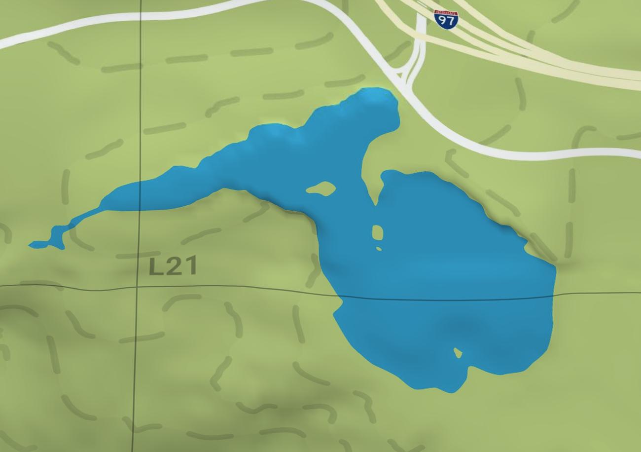
- Lake2 points
- MGV3+324 YuleeMGV + Yulee
- Passage KeyFlorida 34216, Passage Key
- Railyard
- Reservoir
- River4 points
- Southern Harbor Marina1133 Co Rd 294
- Train Bridge
- Train Station
- Train Tunnel2 points
- Train Tunnel5 points
- Tunnel
- WaterfallGeorgia 30534
Unnamed · 16
Another 16 points: Nature — 8, Places — 7, Shops — 1. Open the area on the map
Nearby on the map
FAQ
Where is Lummox County on the map?
Lummox County is a region on the GTA 6 map.
How many places are marked in Lummox County?
Lummox County has 64 places.
What kinds of places are marked in Lummox County?
The largest groups are: Nature — 29, Vehicles — 10, Shops — 1.
Which named places are in Lummox County?
The GTADB snapshot has 36 places with a name, including: "Maple Syrup Hill", Dam, Footbridge, Lake, Lighthouse.
How many points in Lummox County have no name?
28 places have no name of their own. By category across the area: Nature — 29, Places — 23, Vehicles — 10, Shops — 1.
Do places in Lummox County have real-world counterparts?
In the GTADB data, a prototype address for 21 places and a prototype photo for 8 places.